


Last update 2025-11-05
Distance: approx. 2.5 km
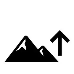
Elevation change: approx. +10 m
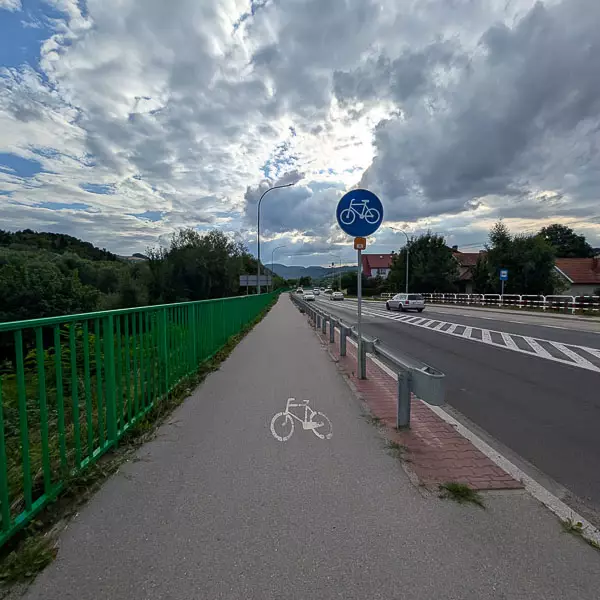
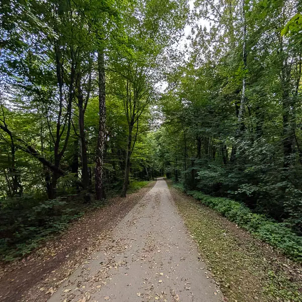
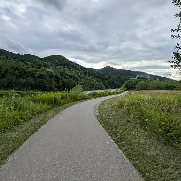
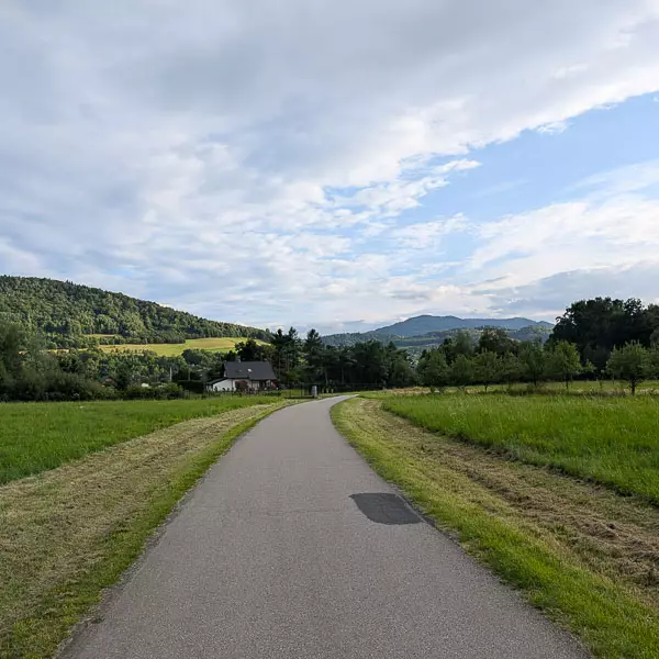
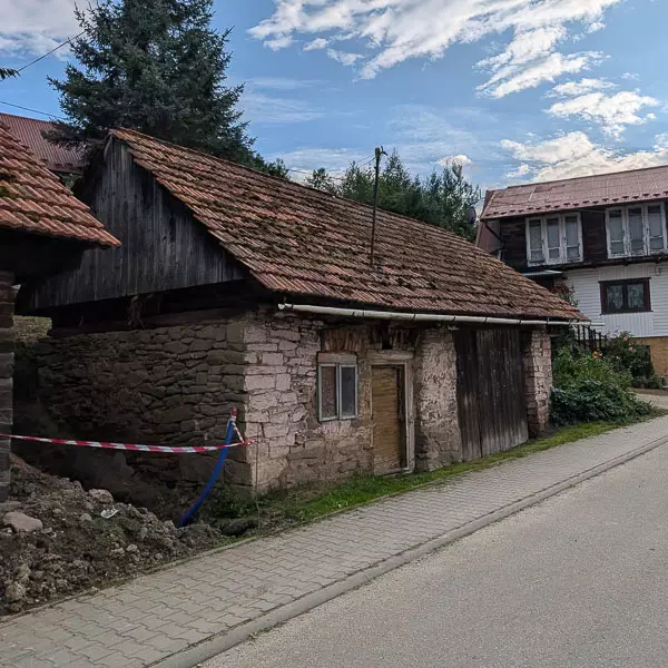
We start the route at the road bridge in Kadcza. We ride along a flat, separated pedestrian and cycling path of Velo Dunajec towards Jazowsko, located by the provincial road. After 300 metres, the cycle path leaves the public road and follows the Dunajec River. Along the way, we pass the official Cyclists’ Service Point (MOR) and the Orlik Jazowsko sports field. The section ends in Jazowsko, where we join the public road and turn left onto the bridge.
Distance: approx. 3.8 km
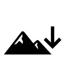
Elevation change: approx. +44 m / –28 m
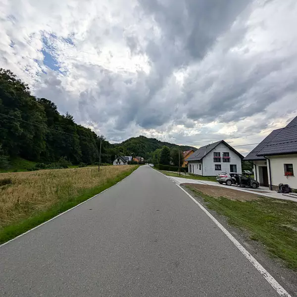
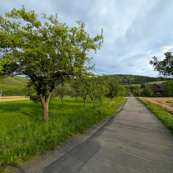
We cross the bridge over the Dunajec, then turn right and follow the local road towards Maszkowice. This is the most demanding part of the route – a long and steep uphill climb. After reaching the top, we enjoy a fast, winding descent towards Maszkowice, ending at the bridge over the Dunajec.
Distance: approx. 3.8 km
Elevation change: approx. +15 m
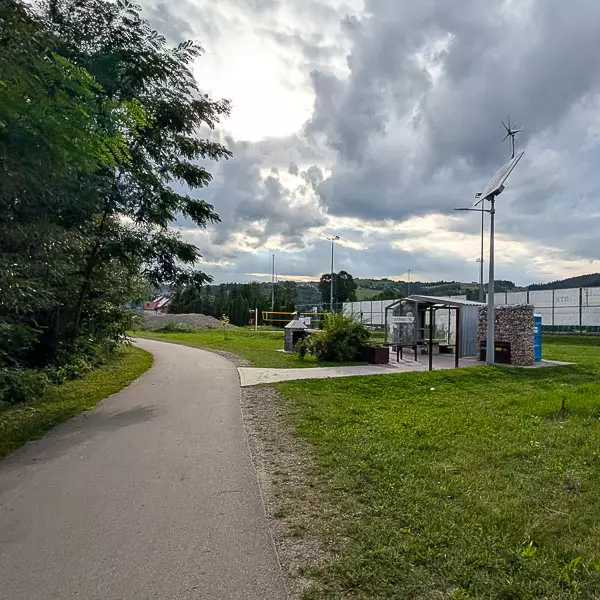
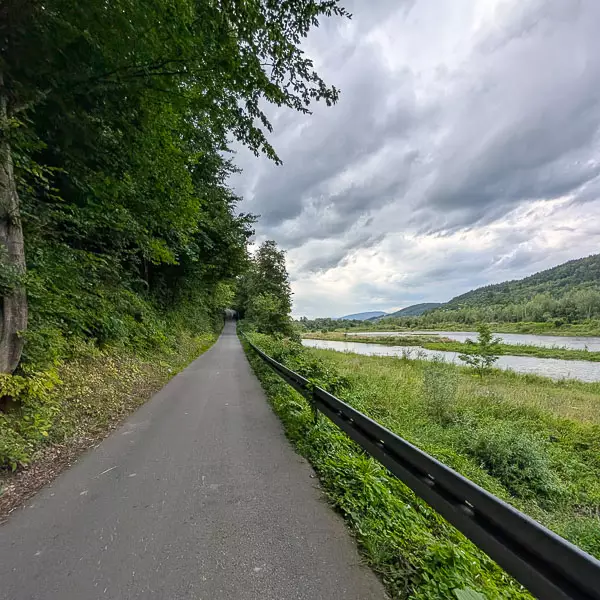
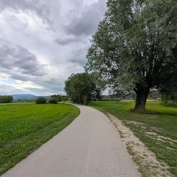
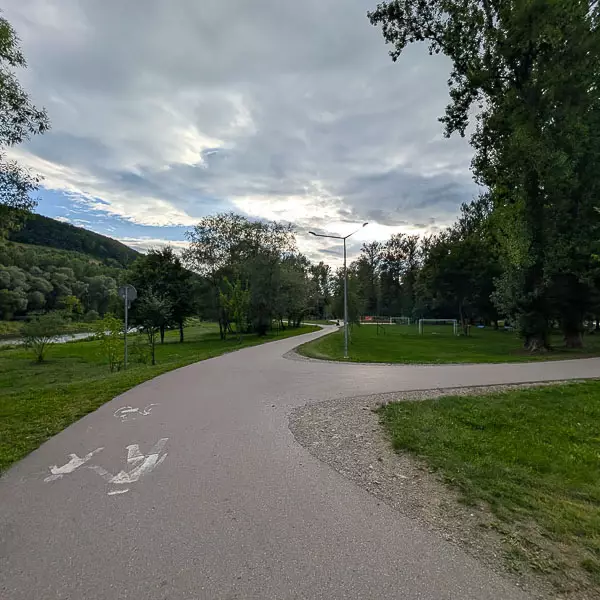
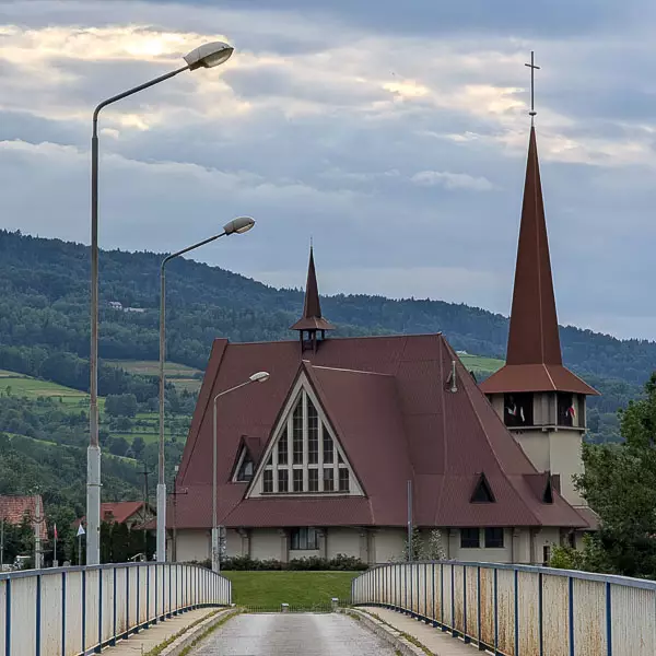
After crossing the bridge in Maszkowice, we turn left and continue along the shared pedestrian and cycling path. The flat route runs alongside the river; after 2.6 km, we pass the riverside recreation zone on the right. The section ends at the footbridge in Łącko.
Distance: approx. 2.7 km
Elevation change: approx. +18 m
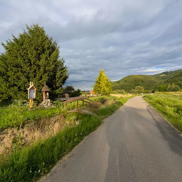
We cross the footbridge and turn right, continuing along the right bank of the Dunajec. The route follows a low-traffic public road through the village of Zarzecze. We follow the Velo Dunajec signs. After passing the last houses, we reach the bridge in Zabrzeż.
Distance: approx. 4.1 km
Elevation change: approx. +18 m
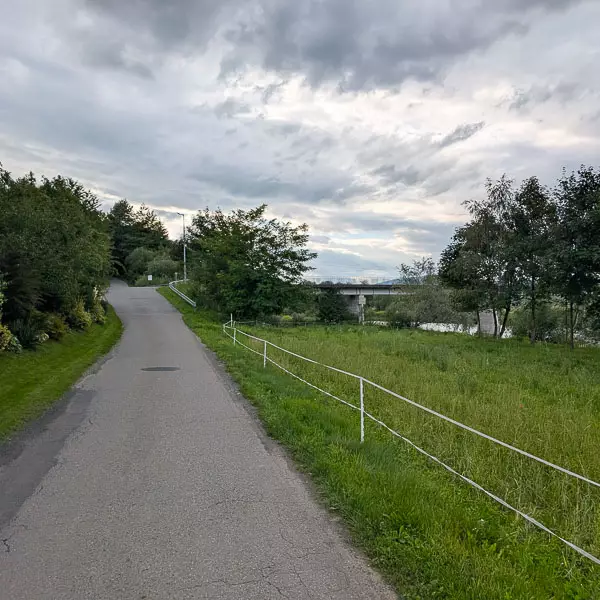
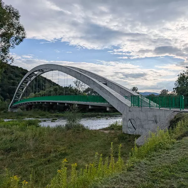
We turn right and ride onto the bridge, returning to the left bank of the Dunajec. Immediately after crossing, we turn right into a small asphalt lane, then pass under the bridge. We continue for 1 km along a dedicated asphalt cycling path until we reach the main road. We cross it and continue riding along the cycling path that follows the road. After about 2.8 km, we reach the footbridge over the Dunajec, marking the end of our journey.
-2025-08-29-10-56-27.webp)
-2025-08-29-10-44-55.svg)
-2025-08-29-10-44-55.svg)